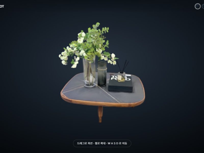
GAUSSIA
GAUSSIA
Gaussian Splatting Space, reimagined
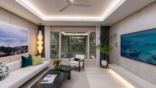
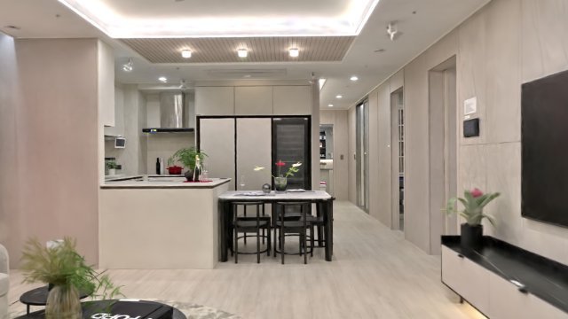
This isn't a photo. Step inside.
Why this method
The closest thing to being there
You're not stuck on fixed camera spots. Move freely through the space, and measure it while you're inside.
Mesh-based methods turn windows into solid panels. Rebuilding transparent objects, conventional methods reach 17%. This method reaches 99.6%.
Sensors 25(14):4410, 2025A 360° photo lets you turn your head where the camera stood. Here you move forward, back, sideways, up and down.
LCC2, PLY or SOG — whatever captured it and whatever processed it, it opens in one place, collision walls included.
LiDAR point clouds need dedicated software and multi-gigabyte files. Photogrammetry meshes get heavier the more realistic they look.
Cameras & files
Use the gear you already have
LiDAR scanner, DSLR, action cam or smartphone — any of them works. Upload an aligned capture and the server handles conversion, orientation and streaming.
Upload the point cloud straight from the scanner. Shape and dimensions are accurate from the start.
Shoot the space from many angles and align the photos. This gives the best image quality.
Pull frames from video shot while walking. The fastest way to cover a large area.
Start without buying anything. Try it first, then decide.
GAUSSIA
Where on Earth is that space?
The real space, opened on the web as it is. Add notes, set a route, export video — work you used to hand off to an agency, done by your own team in a browser. Viewers just open a link. No install, no sign-up.
Open the link on a PC or phone and you're in. Nearby detail loads dense and distant areas load light, so even an office laptop doesn't keep you waiting.
Tap the floor to move there, always at human eye height. Keyboard and an on-screen joystick work too, and a floor plan shows where you are.
Virtual walls keep visitors where they belong. Measure distances and areas right on screen.
The camera follows a route you set. Touch the screen to pause, tap again to carry on from there.
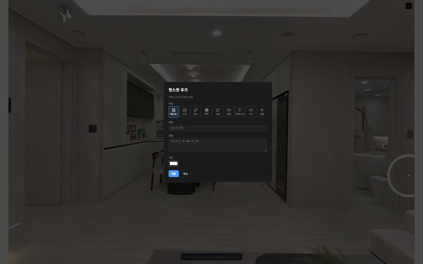
Tap a label to open a card with photos and text. Add 3D lettering, video on a wall, wayfinding lines on the floor, even a live site camera.
Record the camera moving along your route and download it as MP4. No editing software, no render server.
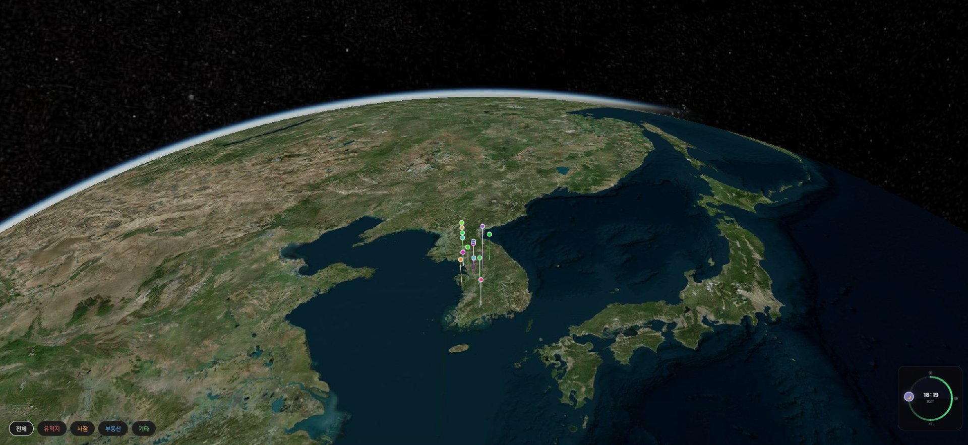
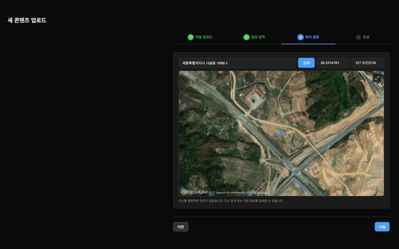
Not a pin on a map. Zoom in and the space itself appears at its real coordinates. Move between sites on a single globe.
Choose from 30+ skies — clear day, sunset, overcast, night — and adjust the color and brightness of the lights inside.
How it works
Capture
Shoot the space with a dedicated scanner, or an ordinary camera or drone.
Upload
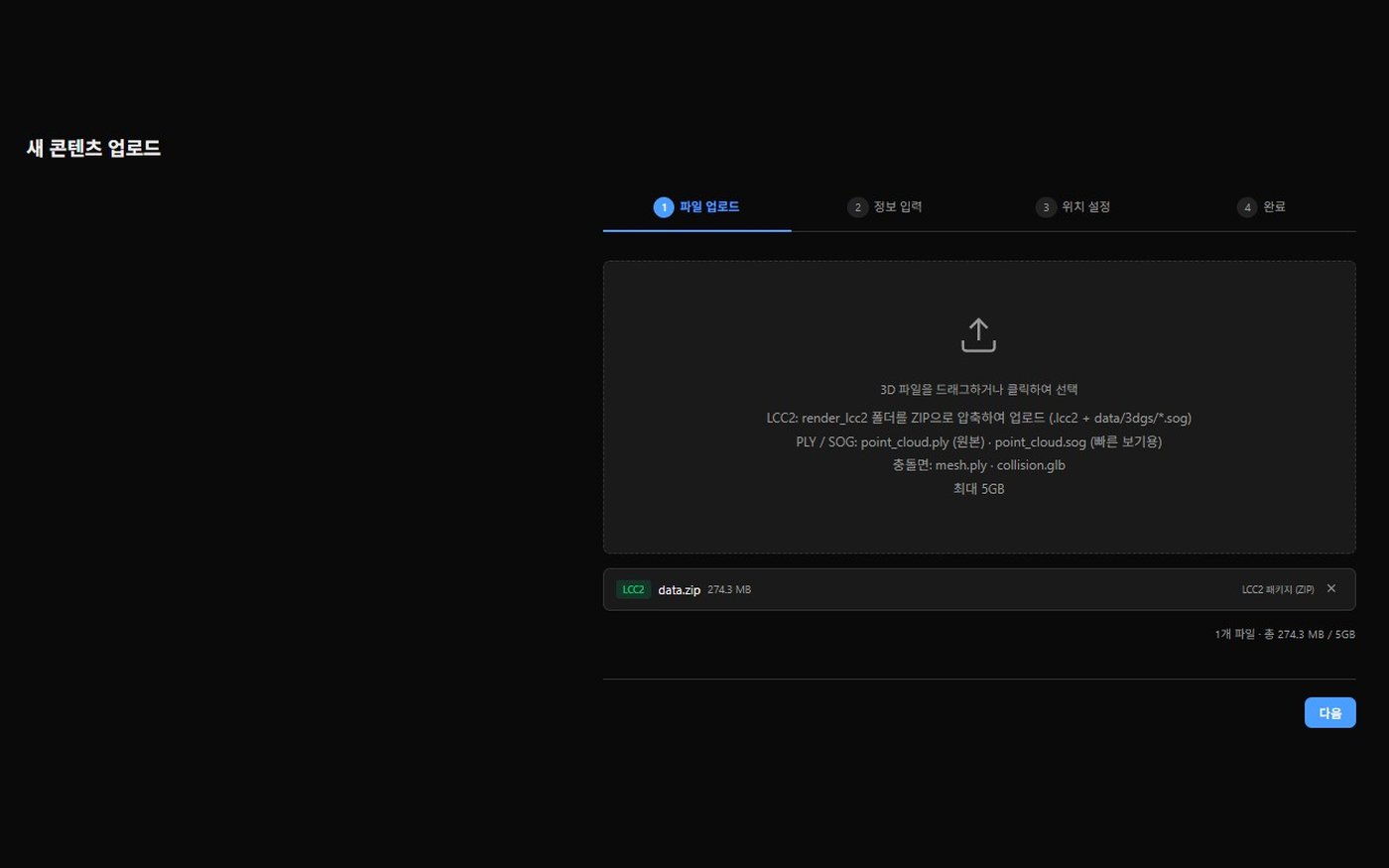
Upload the capture files on the web.
Auto-processing
Viewing files, a lightweight map version and a walkable floor are built automatically within minutes. No one has to touch them.
Edit
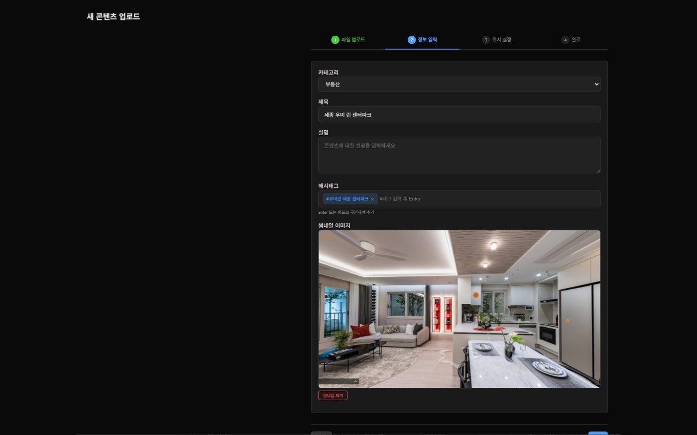
Add notes, set routes, pick the sky and lighting. No 3D software experience needed.
Share
Send the link. Viewers need no install and no account.
Who it's for
Developers · sales agencies
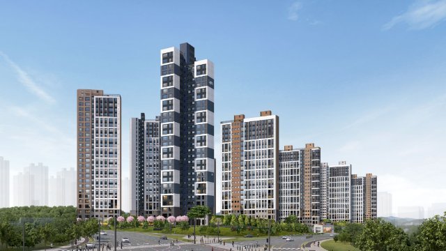
Show real units online before the model house is built, or after it's gone. Keep a version for every unit type.
Cities · public agencies
Capture parks, plazas and sports facilities by drone and let people explore them online.
Visitors
Just open the link — no install, no sign-up. Works on PC and mobile.
Every feature
Everything here is live today.
Moving through the space6
- Tap-to-walk · keyboard · mobile joystick
- Fixed human eye height
- Virtual walls — no leaving the space
- Auto-tour along a preset route; tap to pause and resume
- Floor plan with your current position
- Portals on doors and stairs to other spaces
Notes and signage5
- Labels that open photo-and-text cards
- 3D lettering placed in the space
- Video, images or YouTube on walls and screens
- Wayfinding lines on the floor
- Live site camera feeds
Presentation4
- 30+ skies
- Indoor light color · brightness
- Distance · area measurement
- Switch to and from 360° photo tours
Video export3
- Record along a route and download as MP4
- Fade in and out at start and end
- All in the browser — no editing software or render server
On the map2
- Place spaces at their real location on a 3D globe
- Pick a site on the map and step straight inside
Run it yourself, on your own account
GAUSSIA is an account-based platform. Your team uploads, annotates and publishes without outside help. We tailor terms to the size of your rollout.
Projects
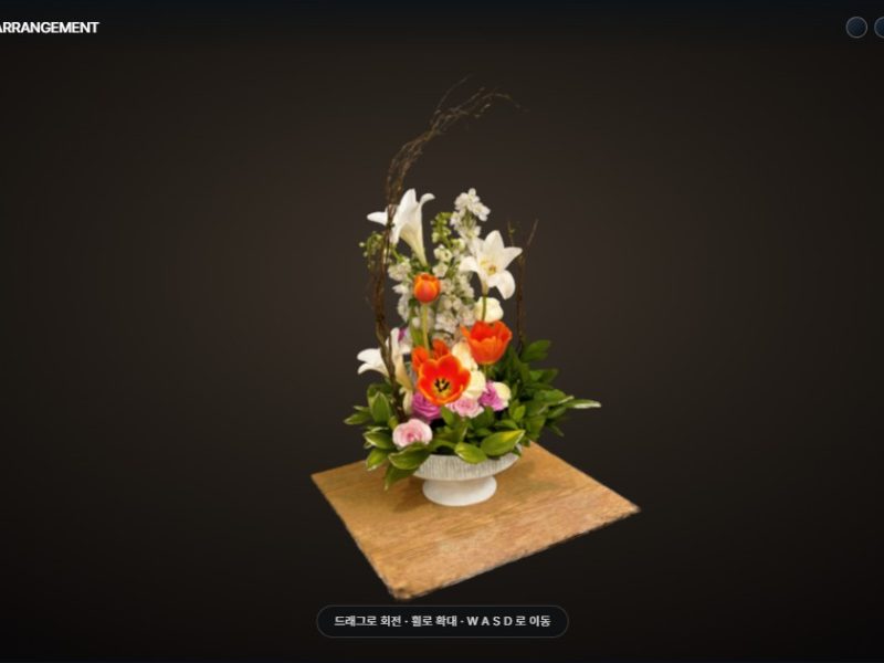
Work made this way. Tap one to open it.