One platform for 360 content
360 images, 360 video, regular video and live streaming from the site, all in one place. From 360 panoramas to digital exhibitions and live broadcasts, one platform covers it.
360 video and images need a dedicated player to play properly, and the files are large. If you've shot something great and don't know where to put it, put it here. It opens right in the browser, and viewers just click a link.
What you can do on the platform
Great 360 shots that used to get buried,
shared with one link
Sign up and you get your own dashboard. Upload, organize and share by link, all on your own. It costs nothing.
Upload your panoramas, turn them into a tour and send it as a link.
Plays in a dedicated player that runs right in the browser.
Upload non-360 video to the same place and manage everything together.
Broadcast from the site and watch it live at the office — and talk while you watch.
How to use it
The real screens, from upload all the way to sharing a link.
Follow along and your first piece of content goes out as a link within minutes.
Questions while you use it? Get in touch
Tell us if anything gets in your way. And if you'd like us to take on the shoot or production, we can help with that too.
Projects
Work made this way. Tap one to open it.
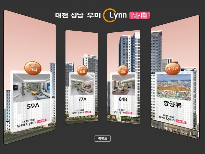
Daejeon Seongnam Woomi Lynn New City 360 VR — Cyber Model House
View →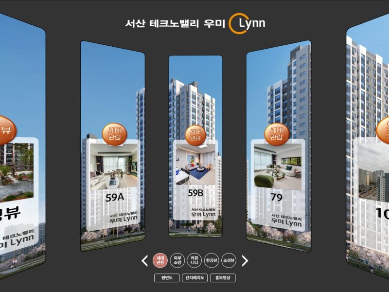
Seosan Techno Valley Woomi Lynn 360 VR — Cyber Model House
View →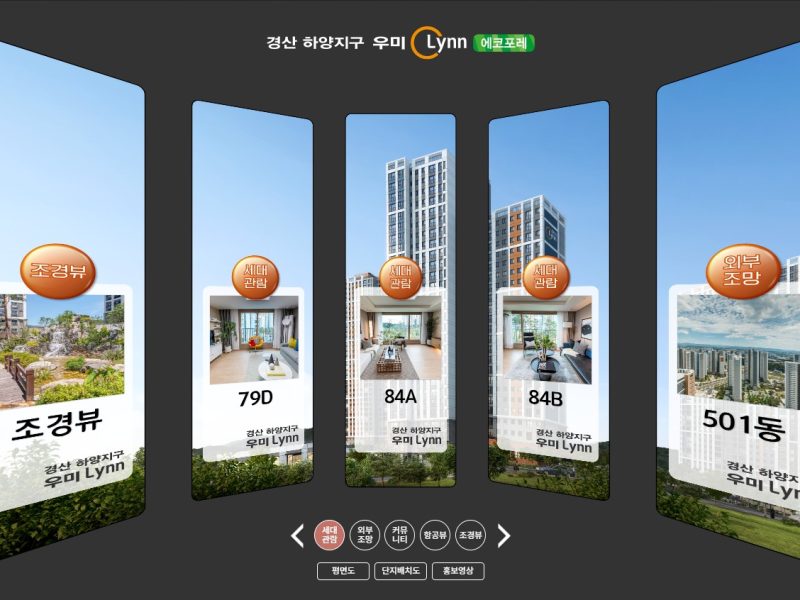
Gyeongsan Hayang Woomi Lynn Eco Foret 360 VR — Cyber Model House
View →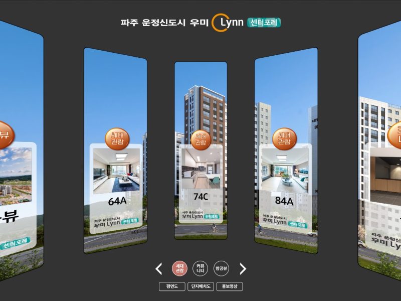
Paju Unjeong Woomi Lynn Center Foret 360 VR — Cyber Model House
View →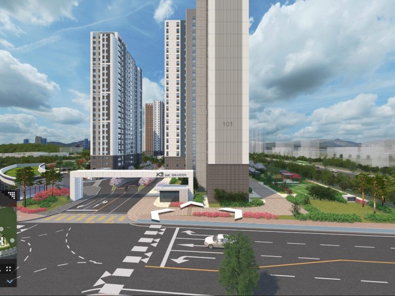
DMC Rivercity Xi — Aerial CG VR of the Complex
View →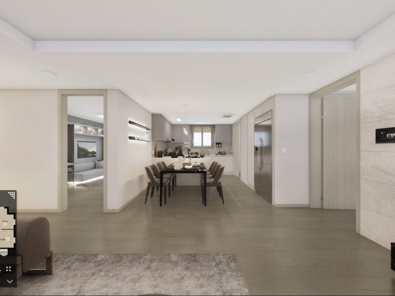
DMC Rivercity Xi 99㎡ Extended Unit CG VR
View →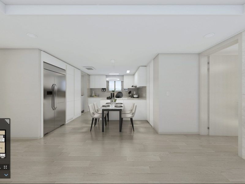
DMC Rivercity Xi 84D Extended Unit CG VR
View →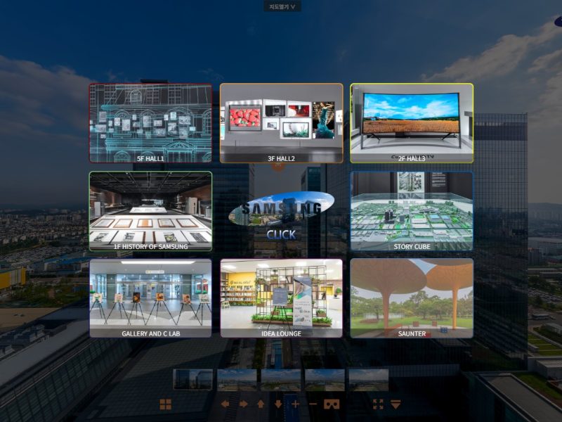
Samsung Digital City 360 VR — Aerial Panoramas · 8 Exhibition Zones
View →360 VR production — not just a tour, the story of your space
TheVR has been producing 360° VR since 2010. We do not stop at stitching good photos together in order. We analyse the space first, then design what to show and in what order around the story each client wants to tell. Repetitive work is automated, and the time saved goes into planning. The result is delivered as a link that opens in any PC or mobile browser.
Cyber model houses
We shoot each unit type of a show home in 360° so buyers can visit online, even after the model house closes. Projects include Umirin sites in Daejeon, Seosan, Gyeongsan and Paju.
Aerial VR × spatial data
Site views and 360° aerials at 30, 50 and 70 m are placed on the map by GPS, then linked with cadastral maps, POIs, transport, schools, nature and amenities, 3D models and narration. A spatial-data tour that explains location and surroundings with real data.
CG VR — before it is built
Walk through a complex and its floor plans in 3D CG 360° before construction. Projects include the DMC Rivercity Xi site view and extended-layout units.
Exhibition & showroom VR
Exhibition halls and showrooms shot zone by zone and linked into one tour. For Samsung Digital City we joined an aerial panorama with eight exhibition zones.
Campus & public facility guides
Buildings and facilities linked point by point so visitors can explore routes and locations before they arrive.
Live streaming & completion records
Stream a site live in 360°, or record a space exactly as it stood at completion and keep it for the long term.
360 VR production FAQ
What does linking aerial VR with spatial data mean?
We shoot 360° aerial panoramas at several heights by drone and align them to the map using the GPS position of each shot. Cadastral maps, nearby points of interest, transport, schools, nature and amenities, and 3D models are layered on top. The result is not just a photo but spatial information with location and data.
Do you build digital twins?
Yes. 360° aerial VR presents spatial information for a wide area, while buildings and interiors that need measurement are captured as 3D spatial data with 3DVR scanning or Gaussian splatting (GAUSSIA). We combine them to suit the purpose into one digital twin.
How is this different from an ordinary 360 VR tour?
An ordinary tour simply links the points where photos were taken. We analyse the space, decide first which scenes and story the client wants to highlight, and design the route, scene order and narration around them. Viewers follow a story through the space instead of hunting for information.
How does 360 VR production work?
We first check the purpose and the site, design the story and route for the viewer, then plan the shooting points. After ground and drone shooting, stitching and correction, we finish the tour with scene order, narration, floor plans and guide text. It is delivered as a link and can also be embedded in your website.
What is a cyber (VR) model house?
It is a show home shot in 360° so people can look around it on the web. Buyers who cannot visit can see each unit type on their phone, and it stays available after the model house is taken down.
When is drone aerial VR used?
To show the location, views and surroundings of a development. Cadastral maps, nearby facility markers and narration can be layered on a 360° panorama shot from the air.
Can you make VR of a building that is not built yet?
Yes. We create 360° VR from 3D CG, so the site view and each unit type can be shown before completion.
How does 360 VR differ from 3DVR and Gaussian splatting?
360 VR lets you look around from where the camera stood, so it is light and opens well even on older phones. If you need measurements we recommend 3DVR, and for the most lifelike 3D, Gaussian splatting (GAUSSIA).
How is the cost of 360 VR production set?
It depends on the number of shooting points, whether aerial shooting or CG is needed, and what goes into the tour. Tell us about the site and purpose and we will send a quote.
Can I just upload 360 photos I already have?
Yes. Create a free account on the 360 VR platform, upload them yourself and share a link.