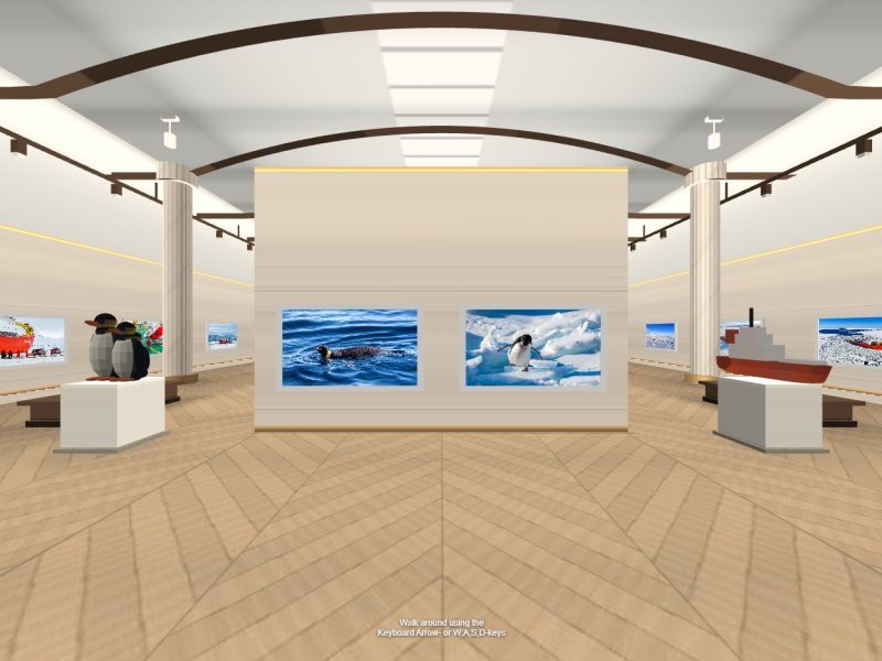
3DVR
Measurable 3D tours, built without code
No LiDAR needed — just photos from a 360 camera. Your team uploads them and edits with a mouse.
Measurable 3D tours
Measurable — distance · area
We align 360° captures into the 3D shape of a space. It feels much like a 360 tour, but because it is spatial data with real coordinates, it can do far more.
Why this method
One step beyond 360 VR. Once a space has coordinates, you don't just look at it — you measure it, check it and line it up with other data. And your own team builds the tour, no coding required.
Built with a mouse
No coding. Drag points onto the screen and link them into a tour. Doors, monitor video and notes stick right where you click.
Nearby public data such as schools and parks fills in automatically once the location is set. There's no save button — changes go live the moment you make them.
Why 3DVR
Measure on screen
Tap two points to get the distance between them. Area works the same way. No more trips back to site to check a dimension.
Walk, don't teleport
Tap a spot on the floor and glide there. Because the movement never breaks, you get a real feel for the size of the space.
Connected to public data
Overlay what you already have — parcel numbers, drawings, facility registers — on the space itself. See it and verify it at the same time.
Built with a mouse, not developers
No coding. Drag points onto the screen, link them, and you have a tour. A VR CMS your team writes and edits as easily as a blog post.
Measure it, check it, build it yourself.
Where it's used
These are the fields where this method is already at work. If your work looks similar, it's likely a good fit.
Delivered as a platform
We issue you a 3DVR editor account. Build tours in a visual editor without code, then share the finished tour anywhere — website, report or text message — with a single link. If you need your own public data connected, we set that up for you.
Easy enough to do yourself
The server takes over the work people used to do by hand. That's why it's fast — and easy to learn.
Production time drops sharply
File conversion, orientation, linking viewpoints — jobs people once did one by one are handled by the server. The wait between capture and delivery shrinks with it.
Just upload the files
No formats to choose, no settings to tweak. The server looks at what you upload and decides how to process it.
Nothing to install
Everything happens in the browser. Office or site, if there's an internet connection, you can work right there.
Drag, drop, type
No 3D software experience needed. Drag things into place and type the descriptions — that is the whole job.
No dedicated specialist required
Site staff upload and organize tours in spare moments. We open your account and walk you through it.
One link delivers the result
Finished tours go out as a link. Put it on a website, send it by text or add it to a report — it's the same address everywhere.
Projects
Work made this way. Tap one to open it.
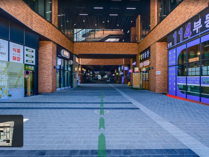
Incheon Techno Valley U1 Center 3DVR
View ↗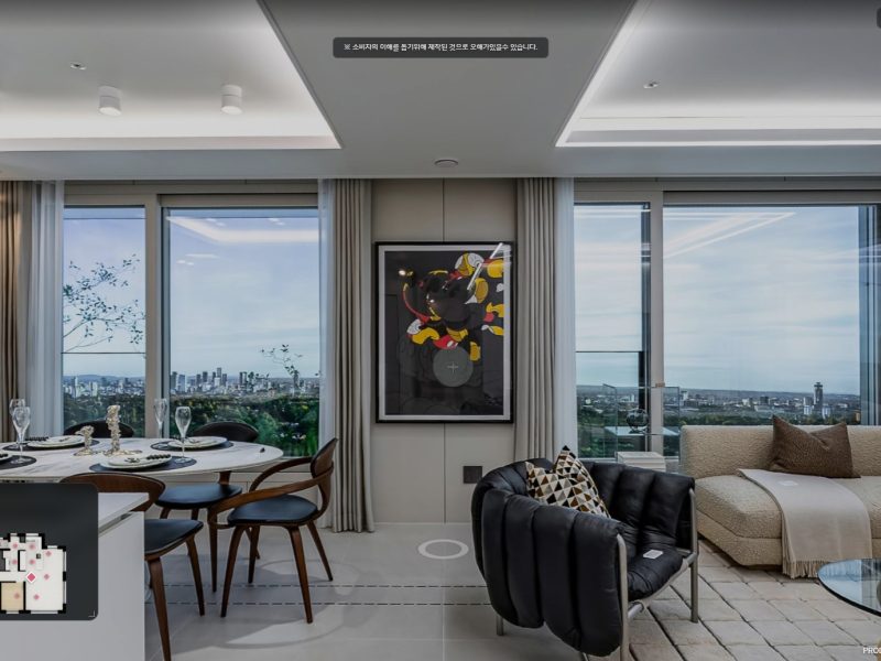
Champions City 84A Model House 3DVR
View →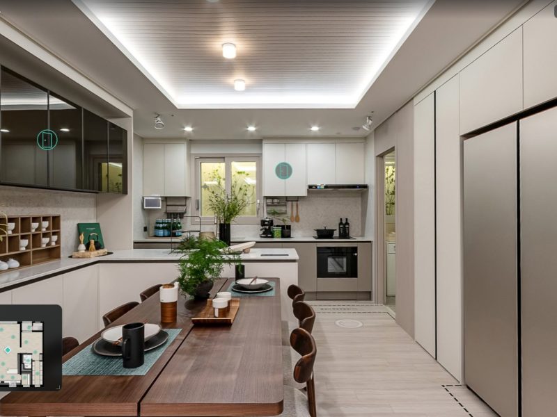
Woomi Lynn Center Park 84A Model House 3DVR
View →
Dongwha Natural Maru Emotion Blanc — Interactive 3D Cross-Section
View →
Dongwha Natural Maru Duo Texture Casa Natural — 3D Cross-Section of the Duo Core
View →